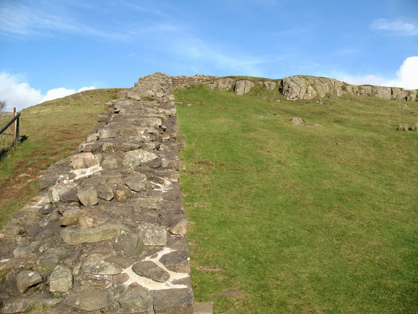

£5.714m of Borderlands money will pay for new signs and information points at 42 places on 33 miles of the Wall in Northumberland, plus a 1.94km cycle route.
Hadrian’s Wall is to get £5.714 million for new signs, visitor information points and a short cycle route. The Borderlands Partnership Board approved the money from the UK Government on Thursday 12 November.
It goes to Northumberland County Council and Cumberland Council for two linked projects. Together they cover the Wall from Heddon-on-the-Wall, about eight miles west of Newcastle, to Ravenglass on the Cumbrian coast. The details come from the Borderlands Partnership’s announcement.
Overview
- How much: £5.714 million of UK Government money, through the Borderlands Inclusive Growth Deal
- Northumberland’s part: new physical and digital information hubs at 42 places along a 33-mile stretch of the Wall, plus a 1.94km cycle route beside the Military Road
- When: the Northumberland project is already under way and runs until December 2027
- Cumbria’s part: 68 interpretation points across 10 trail locations, starting late 2026 and due to finish in January 2028
What Northumberland gets
The Northumberland project is called Hadrian’s Wall Visitor Exploration. It covers 33 miles of the Wall in the county. The partnership says it will:
- put new physical and digital information hubs at 42 locations
- strengthen the main gateways to the Wall, with better signs and connections
- build a new 1.94km cycle route alongside the Military Road
The Military Road is the B6318, which runs beside the Wall through the central section. The new cycle route would link the Wall to:
- the Reivers cycle trails
- Kielder Water and Forest Park
- the National Cycle Network’s route 68, the Pennine Cycleway
- the Haltwhistle active travel hub
The announcement does not list the 42 locations or say exactly where the cycle route will run. It also does not split the £5.714 million between the two councils.
The Cumbrian half
Cumberland Council’s project, Discover Hadrian’s Wall West, will add 68 heritage interpretation points across 10 trail locations. It includes an app with a bird’s-eye interactive map, and virtual and augmented reality animations of what the partnership calls the Wall’s “invisible heritage”. Cumberland is also seeking match funding from the National Lottery Heritage Fund.
The two councils have already spent £379,485 between them on early planning and design, the partnership said.
What the partnership expects
The board’s figures are targets for the tenth year of the programme, not results. It expects:
- 780,000 more visitors a year
- £86.1 million in visitor spending
- £50.4 million in gross value added to the regional economy
Councillor Glen Sanderson, the leader of Northumberland County Council, said the money would connect “Hadrian’s Wall to Kielder Forest, Haltwhistle and our wider active networks”. He said the aim was a destination “that encourages longer stays, boosts local businesses and drives sustainable growth”.
Lady Jane Gibson, who chairs the Hadrian’s Wall World Heritage Site Partnership Board, said the Wall “can be hidden in the landscape” in places. “The stories that the Wall can tell are waiting to be told,” she said.
What it means for you
- Nothing closes. The announcement describes new signs, information points and a cycle path, not work on the Wall itself. The forts and trails stay open as normal.
- Haltwhistle and the villages along the B6318 are the places most likely to see the work first, because the new cycle route is planned beside the Military Road and is meant to connect to Haltwhistle.
- Where the hubs go has not been published. We will report the list of locations, and the route of the cycle path, when the council sets them out.
Sources
- Borderlands Partnership: £5.7m funding approved for Hadrian’s Wall, 12 November 2026
Have your say